
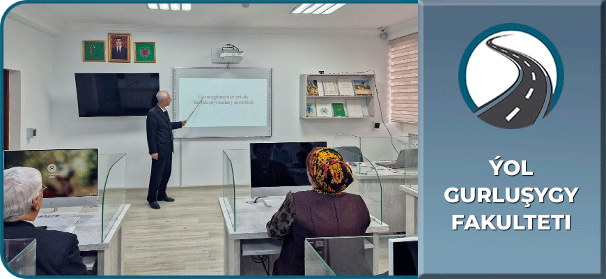
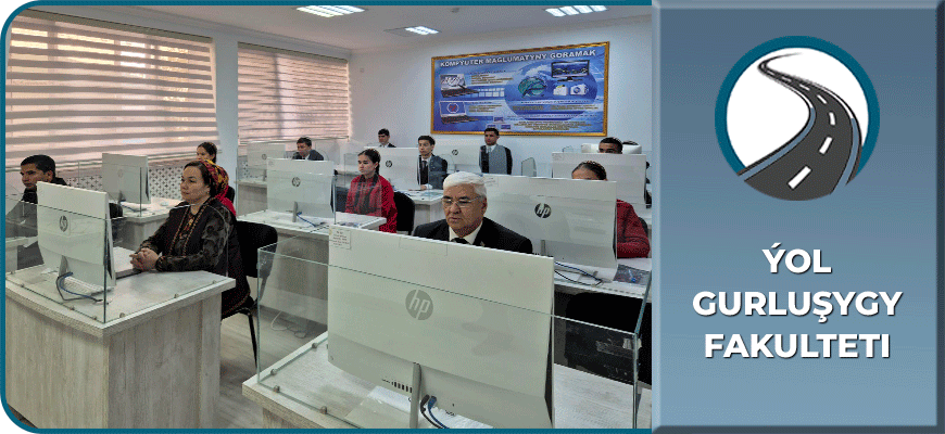
On November 24, 2025, an online scientific and educational seminar entitled “Conducting mapping work through a Geographic Information System” was held by Narbay Ozbekov, senior teacher of the “Geodesy” Department of the Road Construction Faculty at the Turkmen State Architecture and Construction Institute.
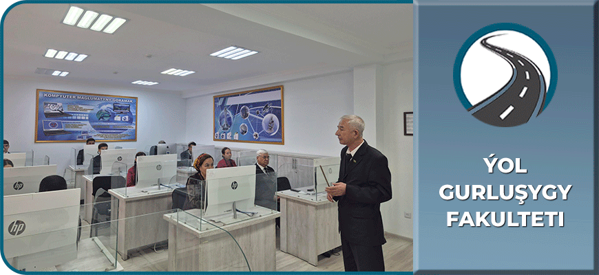
Professors, teachers, and students from the country’s leading higher and secondary professional institutions took part in the seminar. During the online meeting, representatives of Turkmen State University named after Magtymguly, Yagshygeldi Kakayev International Oil and Gas University, the Turkmen Agricultural University named after S.A. Niyazov, Institute of Engineering, Technology and Transport Communications of Turkmenistan, Turkmen Agricultural Institute, and Ashgabat Construction Secondary Professional School of the Ministry of Construction and Architecture of Turkmenistan exchanged professional experience.
The presentation highlighted the interconnection of geographic information systems with natural and social sciences, the use of cartographic, statistical, and space-based materials to create geographic information systems, and the study of tools designed for collecting, storing, searching, and processing data about objects.
